GPS-denied drones: European trial reveals limits over the sea
During the REPMUS exercise in Portugal, AIRSENSE estimated a drone’s position without satellite signals and processed imagery onboard. The European Defence Agency reports good results over land but weaker performance at sea, where landmarks were scarce. The demonstration still needs to become an operational system.
Translated from the French original. In case of discrepancy, the French version prevails.
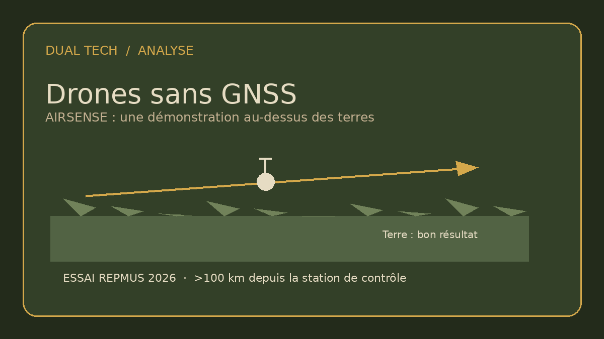
Jamming, failure or absent GNSS signals: a drone that can no longer rely on GPS or Galileo needs another way to estimate its position. At REPMUS 2026 in Portugal, a project funded by the European Defence Agency tested that question with the AIRSENSE system. [1][1]
Sensors and imagery processed onboard
The trial is part of USESXI, a four-year project worth €1.2 million and carried out by Spain’s GMV and Indra. EDA says AIRSENSE combines sensors and AI algorithms to interpret the environment and maintain a position estimate without relying on satellites. [1][2][1][2]
In September, near Troia, a fixed-wing drone already used by the Spanish Army flew more than 100 kilometres from its ground control station and reached an altitude of 2,100 metres. EDA highlights the fact that image-based navigation software ran onboard in real time instead of sending imagery to the ground for processing. The public account does not say that every flight or command phase took place without satellite or radio links. [1][1]
Land offers landmarks; the sea offers fewer
EDA says the system performed well over land and kept its position close to the aircraft’s true location. It was less effective over the sea, where images contained too few distinctive landmarks to recognise. That limitation matters for a navigation algorithm that relies on observing its surroundings. [1][1]
But the public account provides no position error in metres, availability rate, independent results or comparison with an inertial system or degraded satellite solution. “Close to the true position” is therefore a qualitative assessment by the agency, not a specification an operator can verify. Performance by weather, lighting, terrain or speed is not detailed in the reviewed documents.
An experiment is not yet a deployed capability
EDA describes the trial as a step towards a complete solution that still has to meet the standards required for operational use. The project runs until 2028, and the system is expected to be tested again at REPMUS 2027. EDA says it will focus on land operations in light of lessons from current conflicts; that is a programme priority, not proof that maritime navigation is solved or abandoned. [1][1]
The need extends beyond defence. More resilient navigation may support infrastructure monitoring, emergency response and civilian missions when satellite signals are degraded. But each use requires different levels of precision, reliability and oversight. The trial describes a position estimate without GNSS; it does not establish full autonomy, the ability to continue a mission in every situation, or a fielded capability.
The next test should publish its error margins
At minimum, assessing a transition from demonstrator to service requires accuracy measurements in defined scenarios, system behaviour when confidence falls, and how it switches to another navigation source. A contested trial using independent position references and published raw data would allow comparisons beyond an institutional summary.
That is also the dual-use test: the same function can support civilian or military missions, but its value depends on demonstrated performance and conditions of use. European partners and joint funding do not by themselves prove operational maturity or control of the entire supply chain.
AIRSENSE shows a credible route to satellite-free navigation over land. The result to measure next is accuracy, mission by mission.
What the trial does not establish
What the official narrative doesn't tell you
- Accuracy in metres across all environments.
- A complete operational capability that is already qualified or deployed.
- Reliable maritime navigation where visual landmarks are scarce.
Fact-check
The fact-check, point by point
According to EDA, AIRSENSE demonstrated navigation without satellite signals in a land trial. Numerical accuracy, robustness across environments and operational qualification remain to be established.
Claims checked
Verified The test took place in September 2026 under the European USESXI project during REPMUS in Portugal.
Sourced counter-arguments
The aircraft flew more than 100 km from its control station; image processing ran onboard in real time.[1]
Questions that remain open
- What position error was measured, against which reference system and at what availability rate?
- Which lighting, weather, terrain and speed scenarios were tested?
- How does the system detect loss of confidence and switch to a backup navigation source?
- Will REPMUS 2026 and 2027 results receive a published independent evaluation?
In short
According to EDA, AIRSENSE demonstrated navigation without satellite signals in a land trial. Numerical accuracy, robustness across environments and operational qualification remain to be established.
Sources
- EDA project shows unmanned aircraft can navigate without satellite signals — European Defence Agency · accessed 21 October 2026
- USESXI — UAS Single European Sky eXperimental Integration — European Defence Agency · accessed 21 October 2026
AI-assisted content: this article was written with the help of artificial intelligence from public sources, then reviewed and approved by a human editor before publication. Spotted an error, want to respond? Exercise your right of reply · our method.